Independent consultancy helping businesses and research teams turn geospatial data, AI, and technical complexity into practical workflows, scalable products, and decision-ready outcomes through advisory, implementation, and delivery support
Khrystodulov Consult operates at the intersection of applied research, engineering delivery, and operational implementation, helping businesses and research teams turn complex data, technical work, and emerging ideas into practical workflows, scalable products, and decision-ready outcomes.
Founded by Andrii Khrystodulov, the practice combines Earth observation, geospatial technologies, AI, and product-oriented development with hands-on experience in analytical systems, automation workflows, decision-support tools, dashboards, and client-facing applications.
Where projects require broader depth or capability, Khrystodulov Consult can draw on a trusted network of specialist collaborators while keeping the engagement coherent, practical, and focused on delivery that real teams can adopt and scale.

Check out practical updates on LinkedIn.
Project notes, geospatial workflows, and applied AI observations from real delivery work.
LinkedInKhrystodulov Consult combines domain expertise, market understanding, and engineering delivery to build practical tools, workflows, and services for real-world use, from applied Earth Observation analytics for decision-making to AI automations and decision-support systems shaped by customer needs.
Browse by

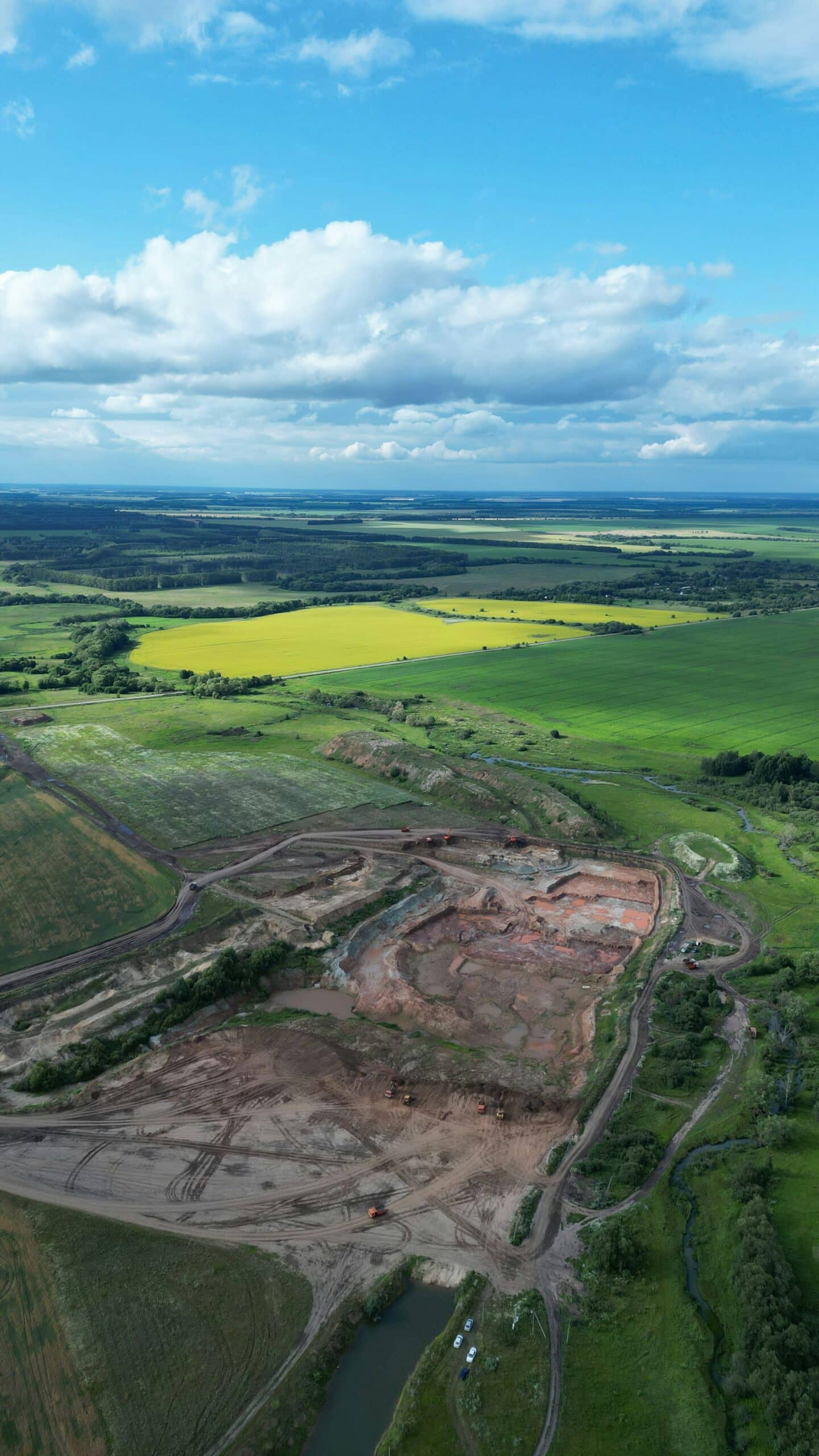
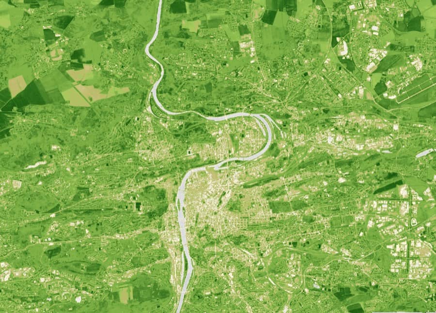
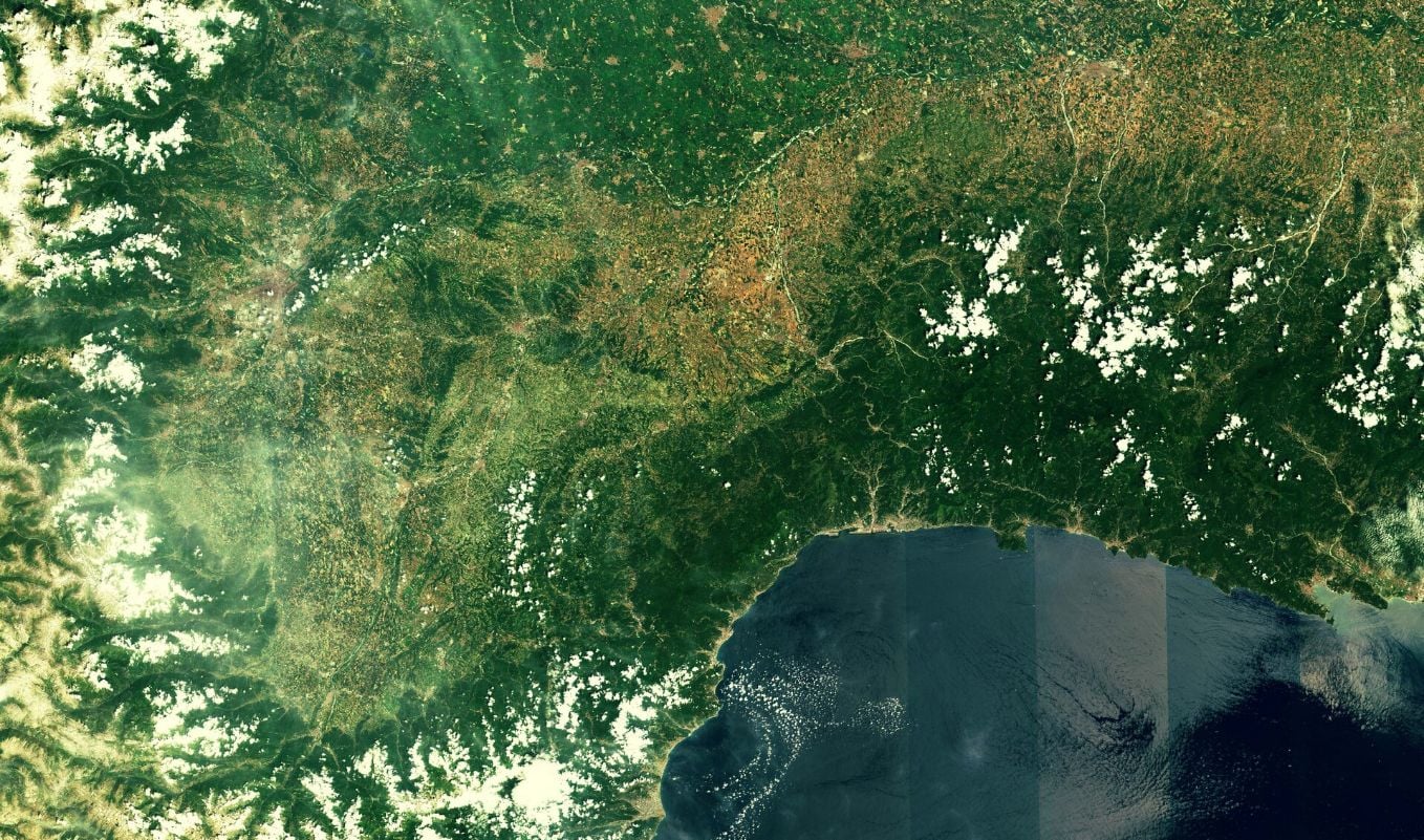
Remote Sensing, satellite-based monitoring, and Earth Observation data analysis across sectors, supporting environmental monitoring, change detection, and object segmentation to deliver decision-ready insights.
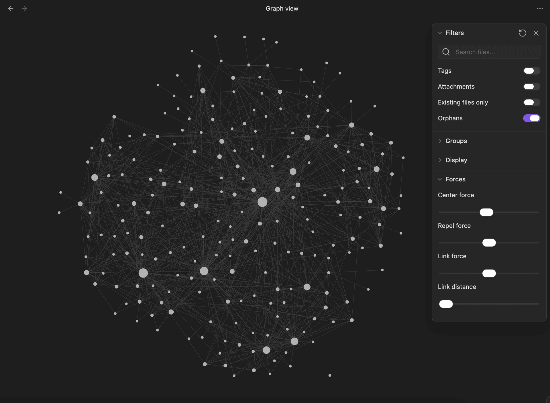
AI workflows for decision support, combining agent orchestration, RAG/CAG pipelines, knowledge retrieval, automation, and LLM-powered systems to turn complex data and business context into usable outputs and actions.
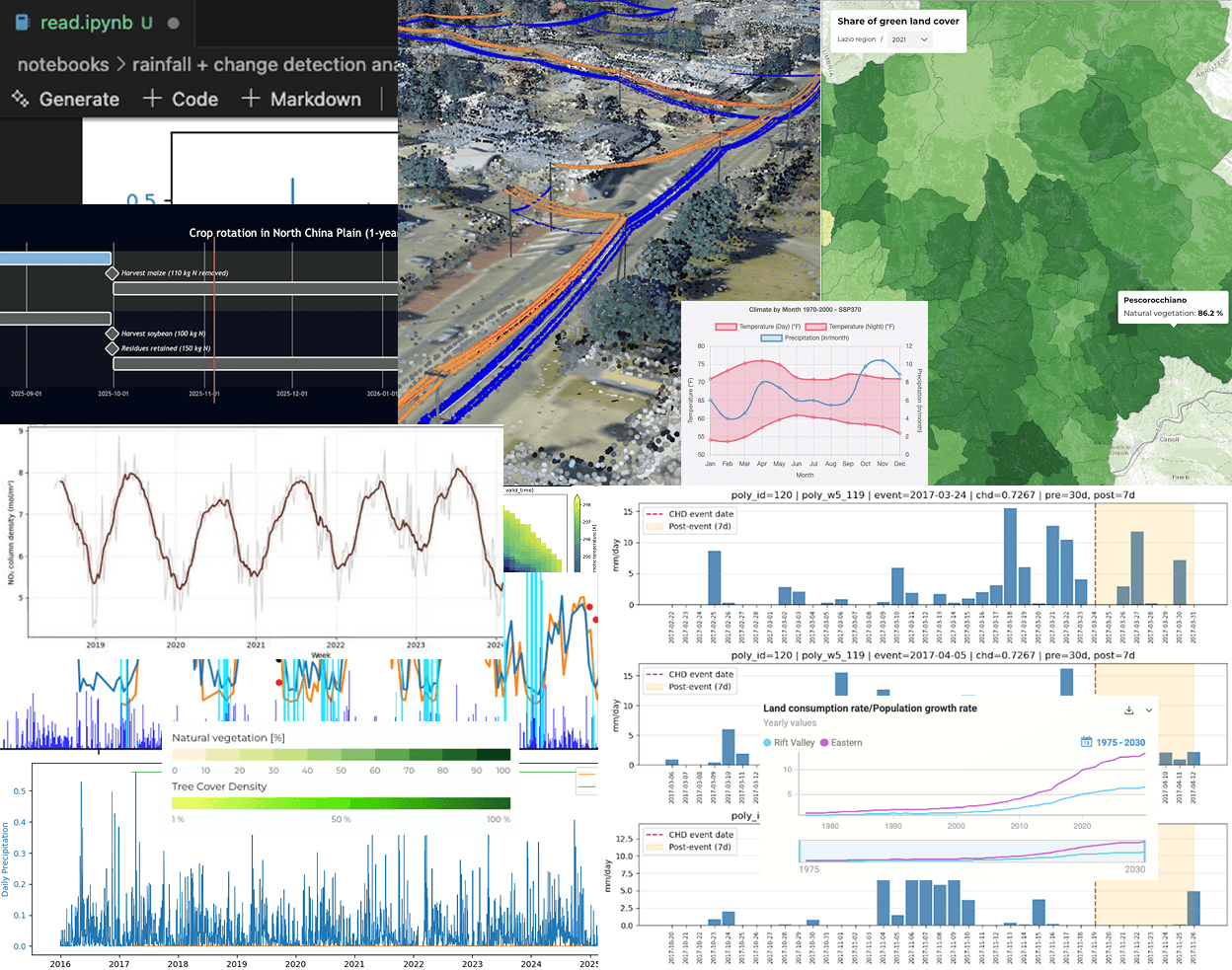
Geospatial analytics applied to real case scenarios in environmental monitoring, risk assessment, continuous research and development, spatial data processing, and ETL-driven analytical workflows automation.
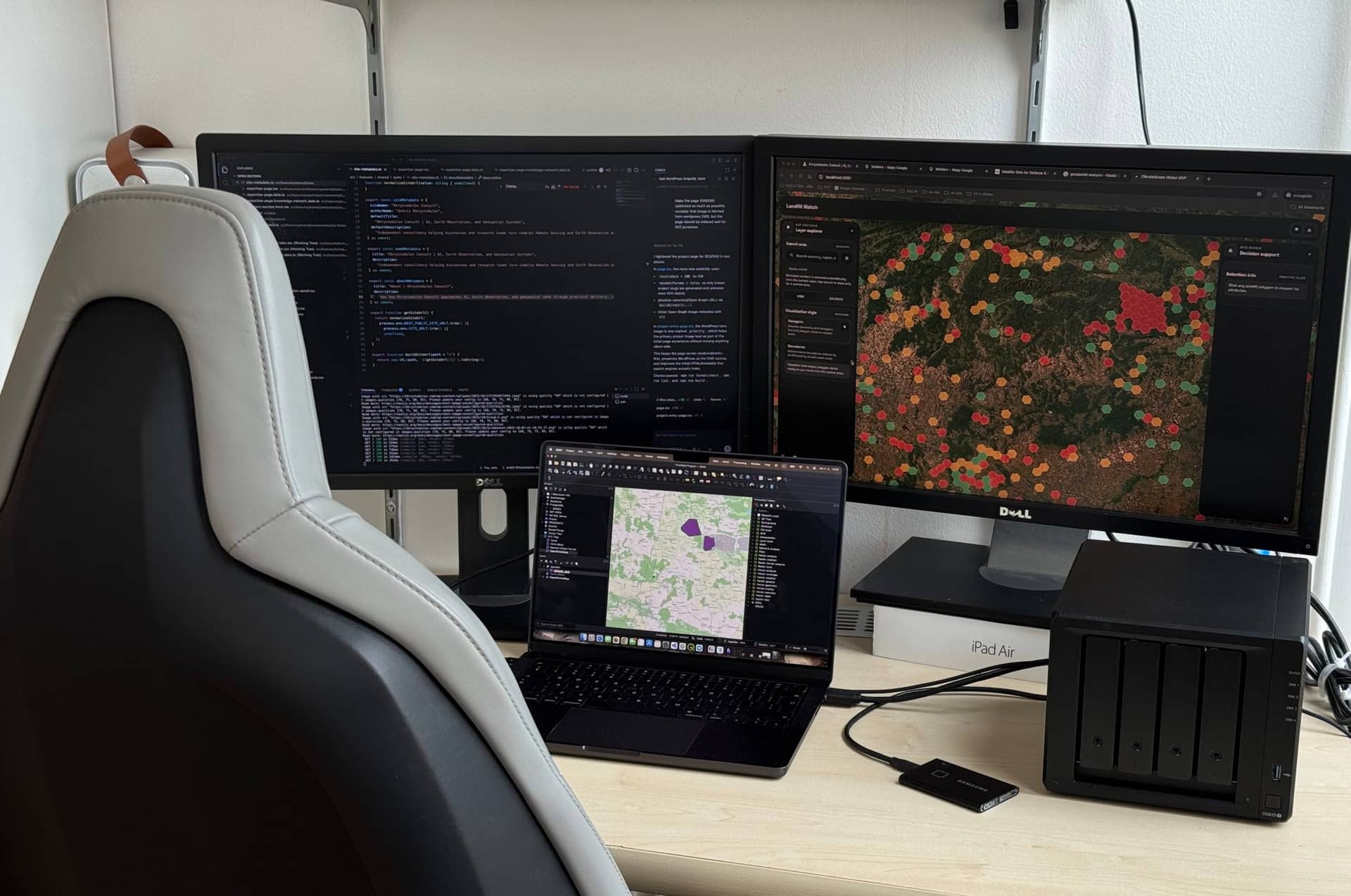
Full-stack engineering support for custom product and infrastructure development aligned with specific business needs that covers scalable system design, infrastructure architecture, coding, data preparation, data delivery, EO data integration, and technical implementation.
If you have an idea, or operational challenge in AI, GIS, or Remote Sensing, a short message is enough to get started. There is no need for a polished brief. Andrii reviews the context, assesses the fit, and proposes a practical next step. Where useful, a short discussion can then be arranged online or in person at the office in Prague. Trusted specialist partners can be involved when broader or deeper domain support is needed.
Step 01
No polished brief is needed. Send a few lines about your idea, challenge, dataset, or business goal.

Andrii Khrystodulov
P: +420 722 658 522
andrii@khrystodulov.com
Step 02
The initial context is reviewed and, a short call is arranged to clarify the goal, key constraints, and the most practical direction.
Step 03
The right path is scoped, whether that means an AI workflow, GIS analysis, Remote Sensing pipeline, prototype, or product direction.
Step 04
The work is delivered to the customer in the desired and agreed shape, whether that means analyses, maps, prototypes, operational tools, or technical handoff materials the client's team can use and build on.
Projects and use-cases delivered across different domains and customer needs, from applied engineering to continuous research and development.
Selected partners and organizations from recent delivery work.


Whether you are shaping an idea, working through technical complexity, or trying to move from concept to practical delivery, Khrystodulov Consult can help. Based in the EU and working internationally, including U.S. clients, the work supports businesses, startups, governments, NGOs, and research institutions in turning complex data, technical requirements, and emerging ideas into practical tools, workflows, and usable outcomes.
Direct contact.
Useful if you want to send more context, links, or a brief.
andrii@khrystodulov.com
Professional profile.
Useful if you want a quick sense of fit before reaching out.
Profile, recent work, and updates.
Website form
Question, brief, or proposal.
Useful if you want to outline a project, ask a question, or send a proposal in one place.
Articles and practical notes on GIS, Remote Sensing, Earth Observation, AI workflows, product delivery, and lessons grounded in real project work.