Environmental and Earth Observation Intelligence
Remote Sensing, satellite-based monitoring, and Earth Observation data analysis across sectors, supporting environmental monitoring, change detection, and object segmentation to deliver decision-ready insights.
Khrystodulov Consult helps clients understand what is happening on the ground and in the air in remote and hard-to-access locations, reducing costs and providing business-ready insights suitable for operational use. Through Remote Sensing, satellite-based monitoring, and Earth Observation data, Khrystodulov Consult turns complex data into reliable, decision-ready insights across environmental monitoring, land management, forestry, security, and defence.
The work goes beyond data analysis alone. Khrystodulov Consult supports the full process from research and solution design to development and end-to-end delivery, creating practical solutions that help organisations reduce operational costs, detect change earlier, strengthen reporting, and make better strategic decisions. These capabilities also support public and institutional actors in monitoring progress, measuring efficiency, and tracking performance against broader goals such as the Sustainable Development Goals.
Core capabilities
- Land cover and land-use (LULC) assessment
- Change detection and time-series monitoring
- Object detection and condition assessment
- Environmental and risk monitoring
- Large-area screening where field access is costly or limited
- Decision support for planning, operations, and policy contexts
Use cases
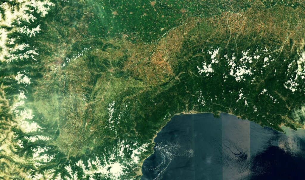
Land cover and land use analysis
Assessment of land cover and land use patterns to understand change, support planning, and provide a stronger evidence base for environmental or operational decisions.
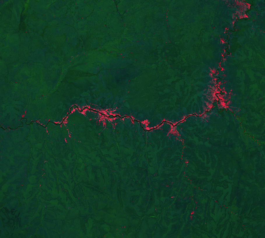
Change detection
Repeated observation and analysis to identify where change is happening, how fast it is developing, and which areas may need closer review or intervention.

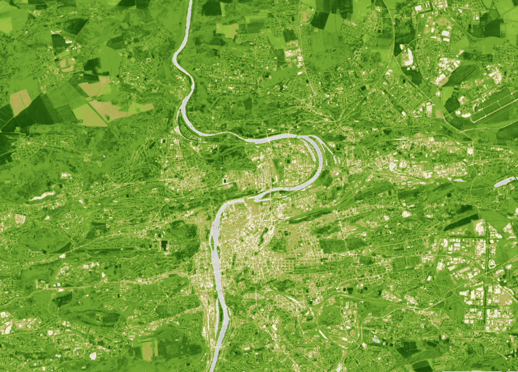
Forestry and land monitoring
Applied EO and geospatial analysis for forestry and land-related monitoring, supporting oversight, planning, and better understanding of changing conditions.
Related projects
Selected project examples that are closest to environmental and earth observation intelligence and the type of product, workflow, or delivery context this page represents.


