Remote Sensing, Earth Observation and AI capabilities
Explore the technical domains covered by Khrystodulov Consult, from Remote Sensing and Earth Observation to geospatial web applications, environmental intelligence, and AI-enabled geospatial systems designed for operational use.

Environmental and Earth Observation Intelligence
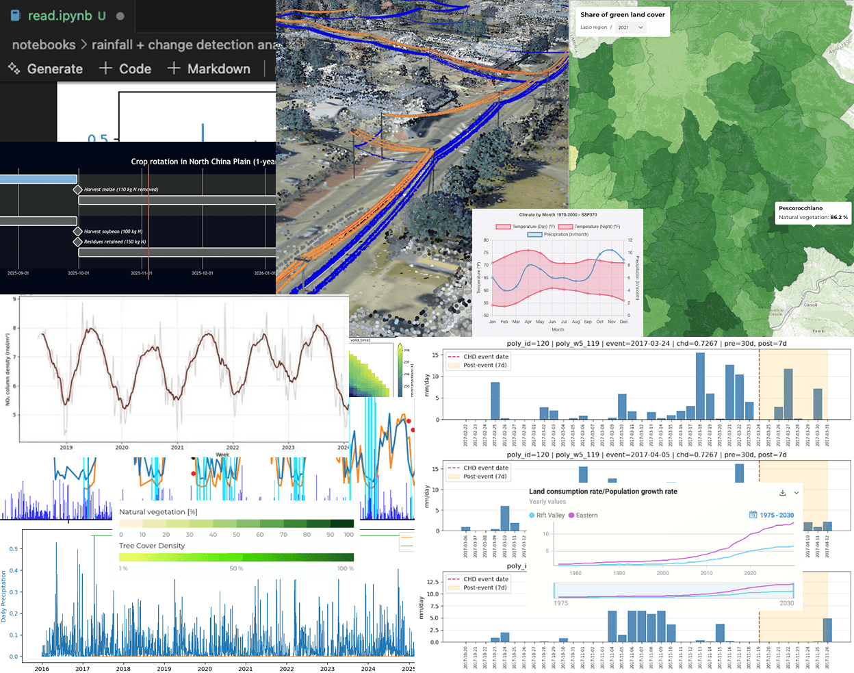
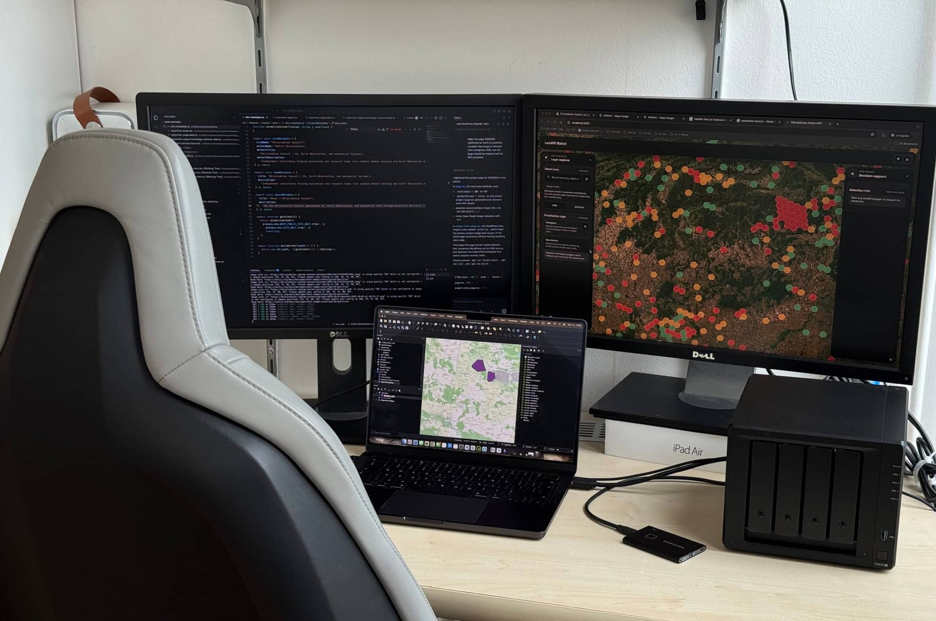
Remote Sensing, satellite-based monitoring, and Earth Observation data analysis across sectors, supporting environmental monitoring, change detection, and object segmentation to deliver decision-ready insights.
AI Workflows for Decision Support
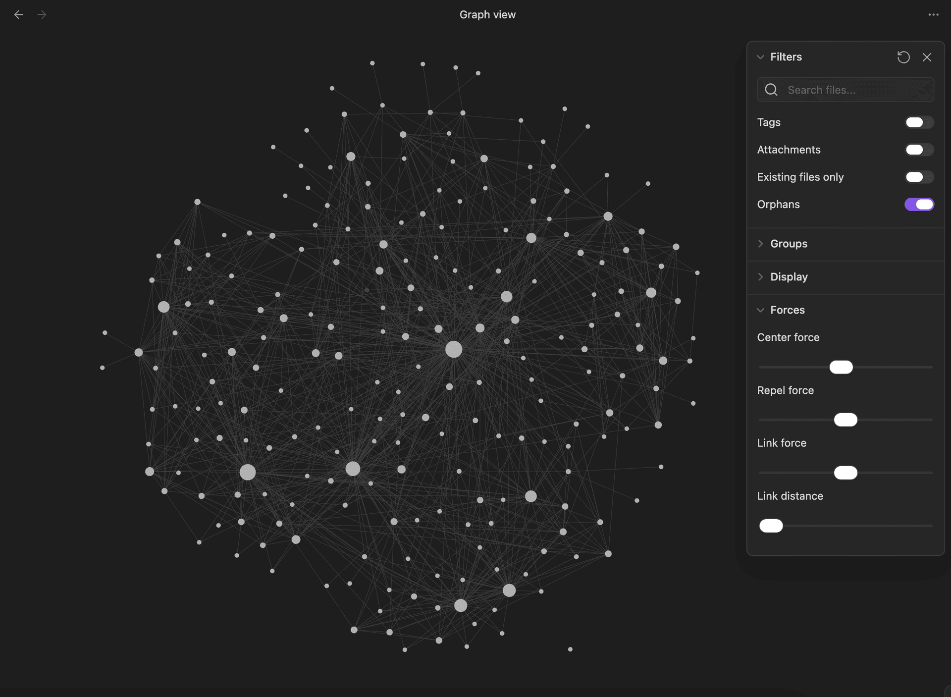
AI workflows for decision support, combining agent orchestration, RAG/CAG pipelines, knowledge retrieval, automation, and LLM-powered systems to turn complex data and business context into usable outputs and actions.
Geospatial Analysis, Research, and Delivery
Geospatial analytics applied to real case scenarios in environmental monitoring, risk assessment, continuous research and development, spatial data processing, and ETL-driven analytical workflows automation.
Product and Infrastructure Development
Full-stack engineering support for custom product and infrastructure development aligned with specific business needs that covers scalable system design, infrastructure architecture, coding, data preparation, data delivery, EO data integration, and technical implementation.
Trusted by
Selected partners and organizations from recent delivery work.


Start a conversation
Whether you are shaping an idea, working through technical complexity, or trying to move from concept to practical delivery, Khrystodulov Consult can help. Based in the EU and working internationally, including U.S. clients, the work supports businesses, startups, governments, NGOs, and research institutions in turning complex data, technical requirements, and emerging ideas into practical tools, workflows, and usable outcomes.
- 🇪🇺 EU-based
- 🌍 Global delivery
- 🇺🇸 W-8BEN ready
- 🤝 Cross-border collaboration
Direct contact.
Useful if you want to send more context, links, or a brief.
andrii@khrystodulov.com
Professional profile.
Useful if you want a quick sense of fit before reaching out.
Profile, recent work, and updates.
Website form
Question, brief, or proposal.
Useful if you want to outline a project, ask a question, or send a proposal in one place.